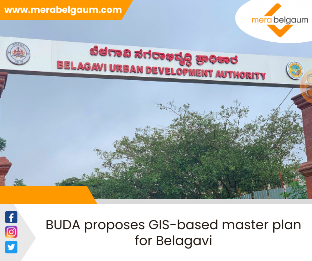
BUDA proposes GIS-based master plan for Belagavi
The Belagavi Urban Development Authority (BUDA) plans to take up a geographical indication system-based master plan for the city.
The master plan will be applicable to the extended planning area of Belagavi of around 200 sq.km.
BUDA has invited Request for Proposal (RFP) from tech-based companies, for GIS-based master plan formulation. It is supposed to be a directional document to help various government agencies, including rural self-government bodies like BUDA and the city corporation, to take up planned development in future. The agencies will plan the development based on projected population growth, area under the city corporation.
This is being taken up in consonance with the Atal Mission for Rejuvenation and Urban Transformation (AMRUT), BUDA officers said. The planned area may differ by plus or minus 10%.
Officials say that Local Planning Area under section 4A of Karnataka Town and Country Planning (KTCP) Act, 1961. On such declaration, by notification in official Gazette, the provisions of the Act apply to such areas.
To carry out the functions of planning and execution, statutory authorities are constituted under Section 4C of KTCP Act. Accordingly, following types of planning bodies are constituted in the State. Urban Development Authority (UDA) constituted under the Karnataka Urban Development Authorities Act, 1987.
As per section 13D of the KTCP act of 1961, the plan has to be revised once every 10 years from the date on which the it has come into force. In doing so, the provisions of Section 9 to 12 shall mutatis-mutandis apply in respect of such revision of the master plan. As per Section 12 of the KTCP Act, the contents of the plan shall consist of a series of maps and documents indicating the manner in which the development and improvement of the entire planning area within the jurisdiction of the Planning Authority are to be carried out and regulated.
The master plan shall include proposals for the following - zoning of land use for residential, commercial, industrial, agricultural, recreational, educational and other purposes together with zoning Regulations. A complete street pattern, indicating major and minor roads, national highways, and State highways, and traffic circulation pattern, for meeting immediate and future requirements with proposals for improvements.
Areas reserved for parks, playgrounds, and other recreational uses, public open spaces, public buildings and institutions and areas reserved for such other purposes as may be expedient for new civic developments. Areas earmarked for future development and expansion. Reservation of land for the purposes Central government, the State government, Planning Authority, or public utility undertaking or any other authority established by law declaring certain areas, as areas of special control and development in such areas being subject to such regulations as may be made in regard to building line, height of the building, floor area ratio, architectural features and such other particulars as may be prescribed stages by which the plan is to be carried out the following reports should be published along with the master plan.
A report explaining provisions of master plan regulations in respect of each land use zone to enforce the provisions of master plan and explaining the manner in which necessary permission for developing any land can be obtained. A report on phasing of proposed development along with the key steps and processes with suggested timelines for implementation, the plan shall indicate “Heritage Buildings” and “Heritage Precincts” and shall include the regulations made therein for conservation of the same
The plan shall use the potential of GIS to map and analyse spatial and non-spatial data. Use of GIS shall facilitate speedy and scientific technique for analysis of complex and huge quantities of spatial and non-spatial data, officials say.


Add a Comment